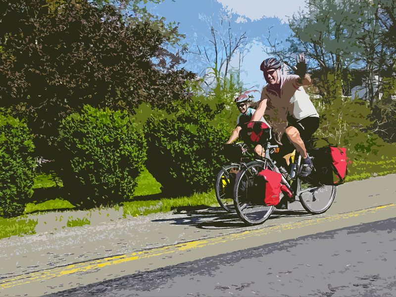
In the late 90s’, a handful of local cyclists teamed up to create a guidebook for cycling in the New River Valley. What they did not know is how much the guide would be used over the next 20 years. In February 2015, the New River Valley Bicycle Association partnered with the Commission to update this valuable resource.
So how do you update a cycling guide? A local team of volunteers reviewed the existing guide by riding every mile of the 30 road rides and 58 alternative routes. Additionally, the team reviewed route descriptions to ensure accuracy. Afterwards, the Commission digitized each route, updated cue sheets, and developed a website (www.nrvrc.org/cyclingguide/) that features an interactive experience for cyclists. Now local cyclists have the ability to search for routes by location and distance, view 3D maps with interchangeable base maps, and print cue sheets that feature turn-by-turn instructions and an elevation profile.
For the cyclists that prefer riding to the very tops of our region’s mountain peaks and splashing through the streams in our valley bottoms, there is an interactive map for off-road riders too. The Commission is working with local mountain bikers to digitize some of the known local favorites. While the Commission continues to finalize this section of the site, you can begin exploring the completed trail systems, swap base maps, and explore vertical elevation changes.
The Commission looks forward to continuing the partnership with the New River Valley Bicycle Association, and keeping the website up to date with the latest information.
For further information, please contact Elijah Sharp (esharp@nrvrc.org), 540-639-9313, ext. 210.

